
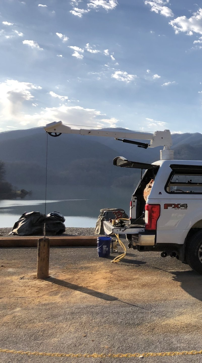
Geophysics Services for Subsurface Investigation & Risk Mitigation
Encountering unknown subsurface conditions can be costly for your project, both in money spent and time lost. ARM Geophysics has the in-house knowledge and equipment to help you avoid the unexpected and to provide unique insights into the earth’s subsurface.
Our Geophysics Services:
Geophysics Markets Served
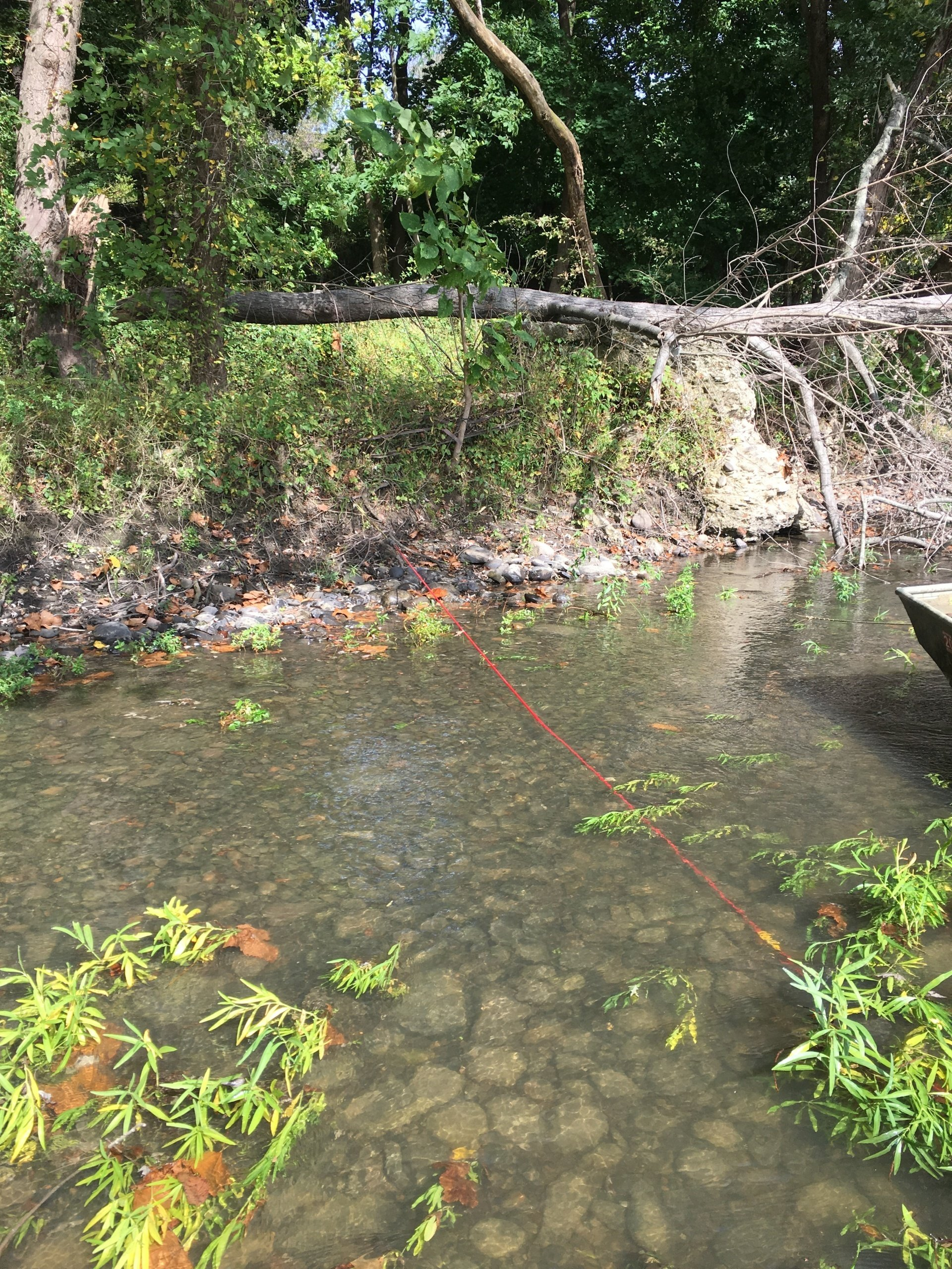
Water Resources
- Identify Optimum Water Supply Well Location
- Evaluate Stormwater Injection Potential
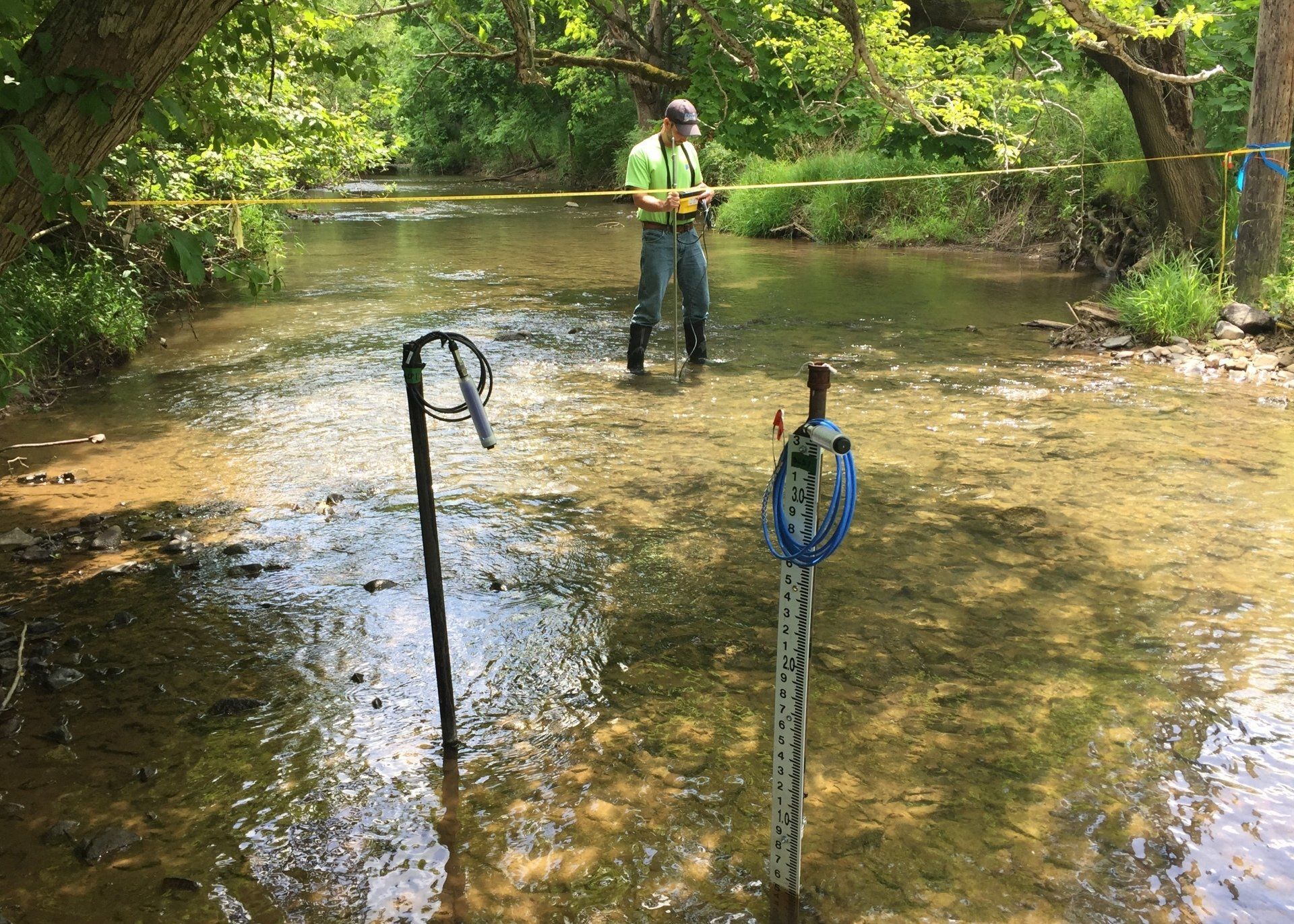
- Characterize Groundwater Flow In/Out of Streams & Wetlands
- Evaluate Geothermal System Feasibility (Open Loop or Closed Loop)
- Guide Agricultural Users to Water for Stock & Irrigation Needs
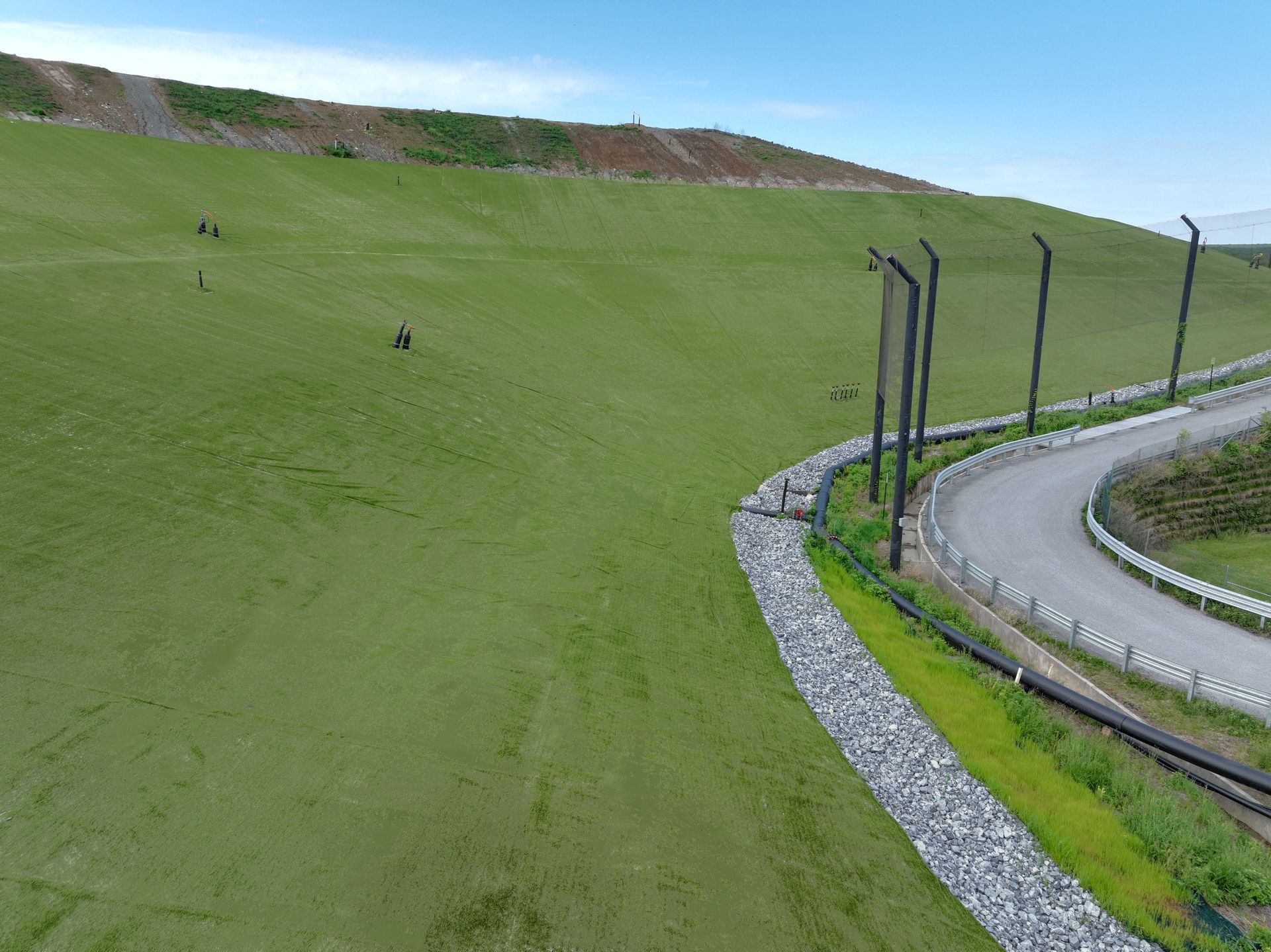
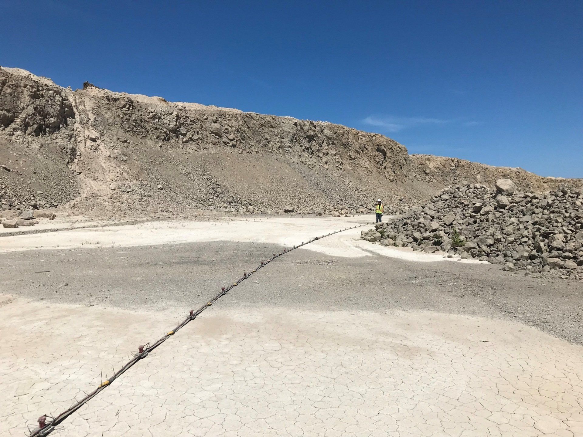
Waste Management
- Waste Delineation (Lateral & Vertical)
- Landfill Liner Leak Detection Surveys (bottom liner & cap surveys)
- Conduct 3D Leachate Impoundment Leak Surveys
- Determine Suitable Areas for Landfill Expansion
- Evaluate Waste Stability (Coal Combustion Residual [CCR] Ash & Municipal Waste)
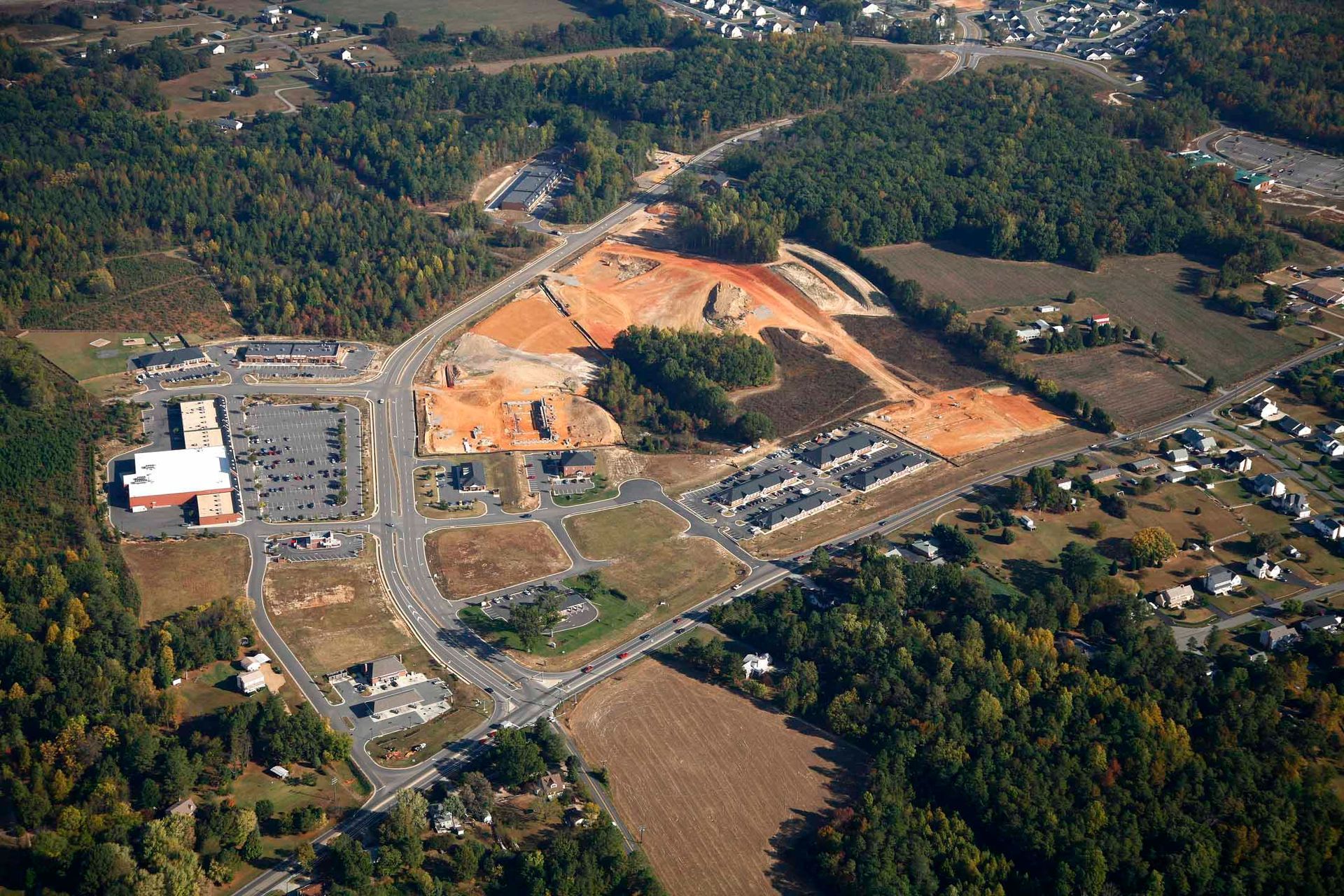
Land Development & Construction
- Determine Depth to Bedrock & Slope Stability
- Seismic Site Classifications
- Evaluate Rippability of Rock & Provide Engineering Parameters of Soil
- Identify Karst/Sinkhole Potential & Design Sinkhole Mitigation Efforts
- Support Dam Safety & Dam Stability Studies
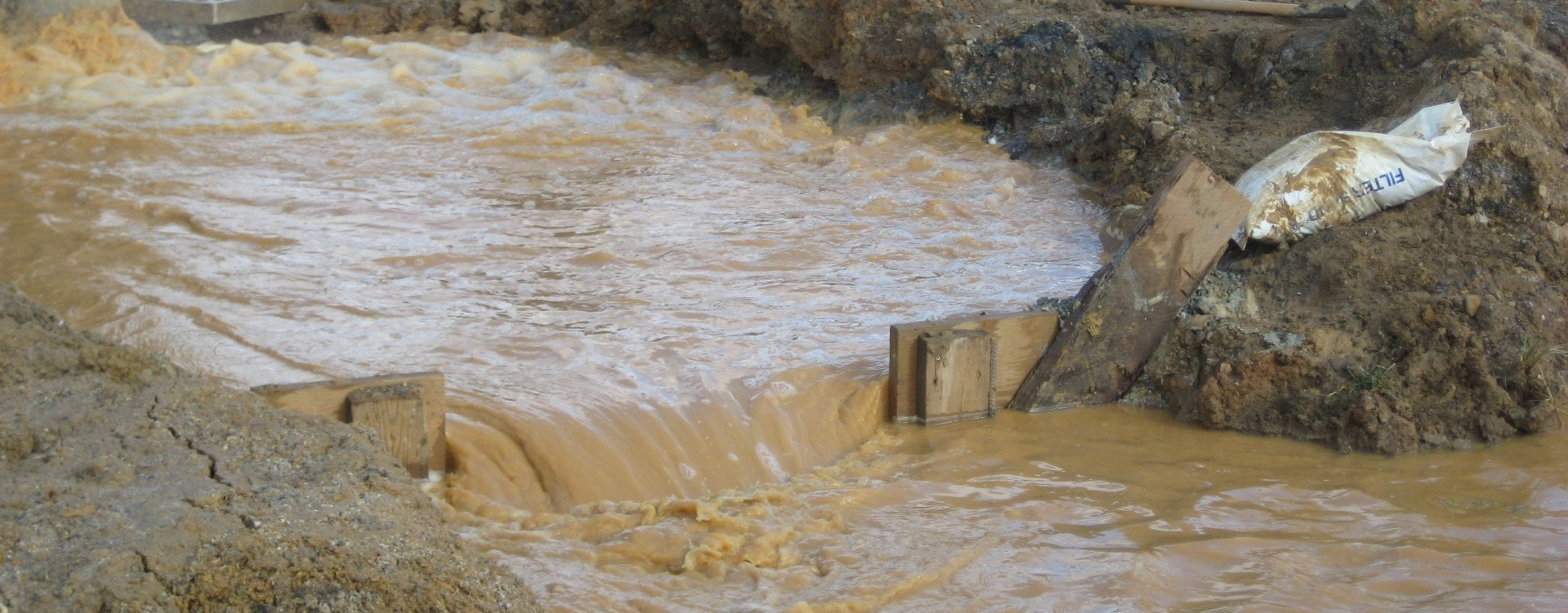
Environmental
- Delineate Contaminant Plumes in Soil & Groundwater (Including PFAS)
- Define Geologic Structure to Support Fate & Transport of Contaminants
- Identify Preferential Flow Paths
- Locate Buried Waste and Underground Storage Tanks & Piping
- Characterize Water Quality & Bedrock Parameters with Borehole Well Logging
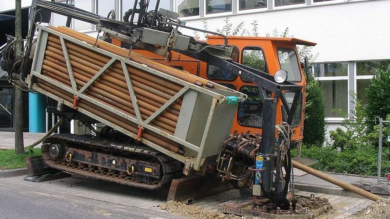
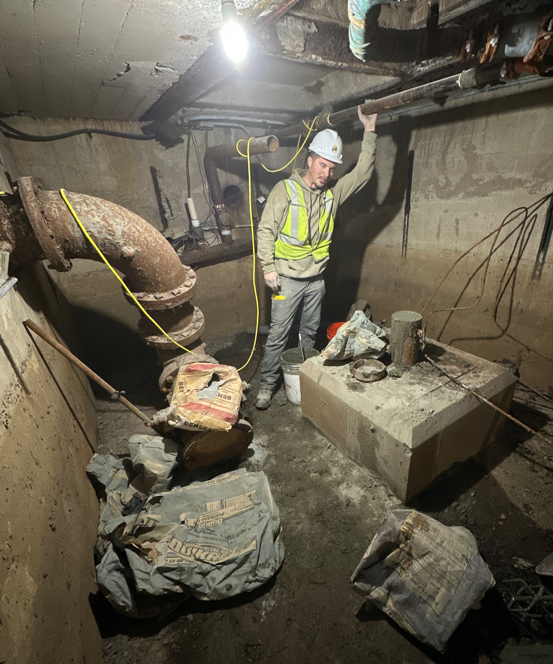
Utilities - Conventional & Trenchless
- Obtain Design Parameters for Horizontal Directional Drilling (HDD)
- Subsurface Utility Engineering (SUE)
- Determine Depth to Rock & Rock Volumes for Open Trench Construction Projects
- Support Linear Project Routing & Suitability
- Identify Leaking Pipes
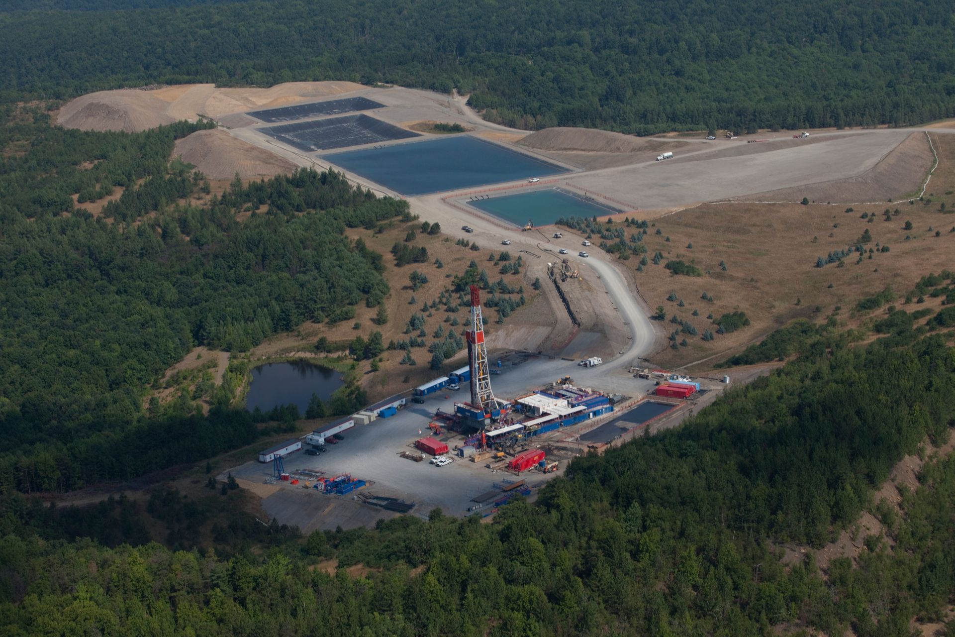
Natural Gas
- Delineate Extent of Brine Release Impacts
- Determine Depth to Base of Fresh Water
- Provide Cement Bond Logs & Evaluate Casing Integrity
- Evaluate Slope Stability
- Investigate Potential Coal Seams/Mines
Featured Projects

Get in Touch with our Geophysics Team
Have questions about subsurface conditions or need support for your next project?
Our geophysics experts are here to help. Fill out the form below and we’ll get back to you promptly.