Groundwater Plume Detection
3D Geophysics
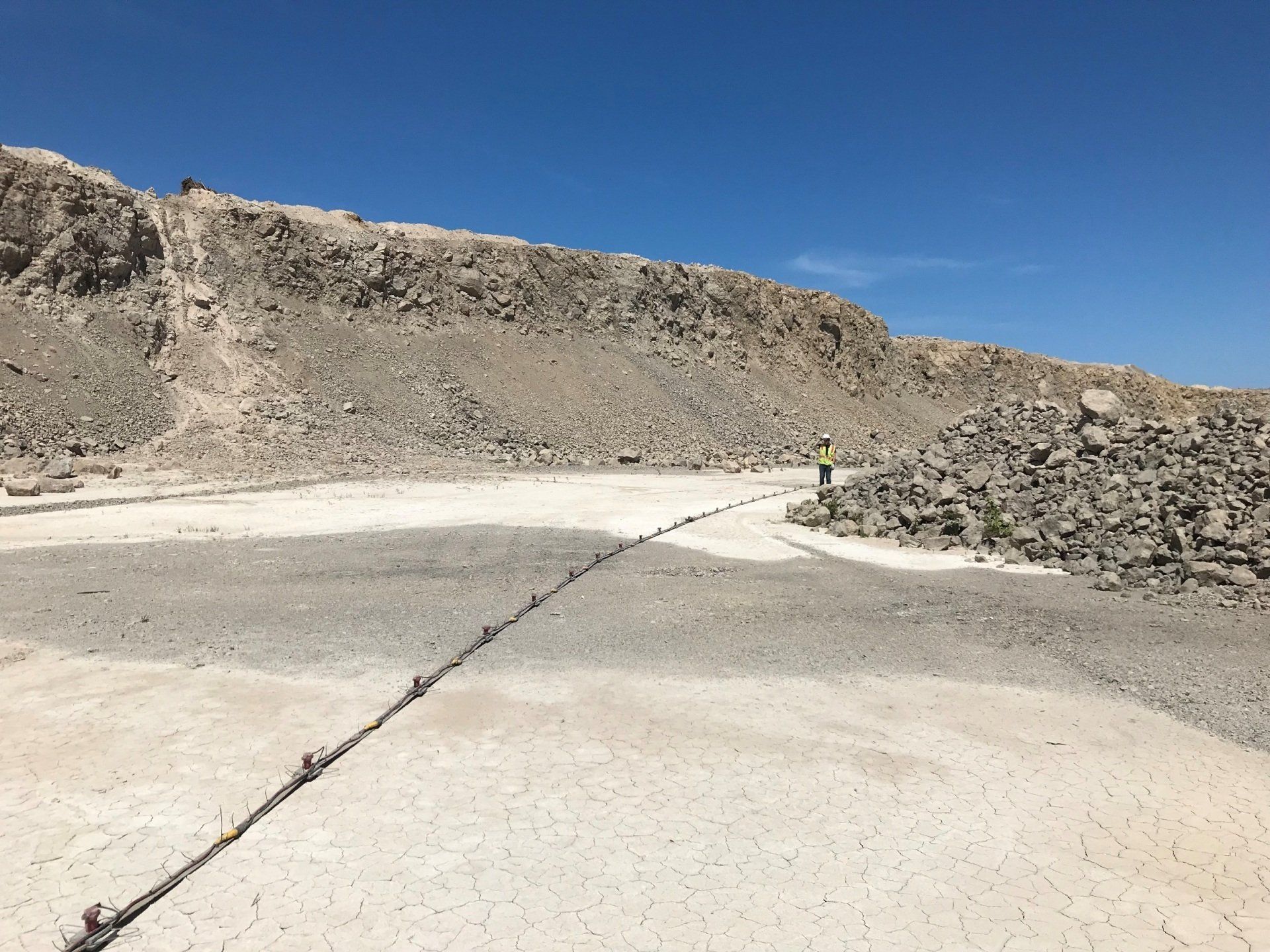
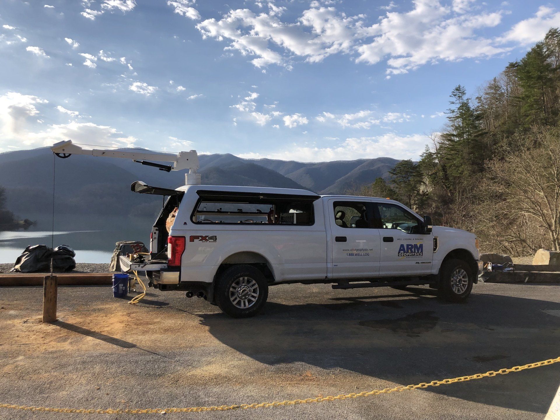
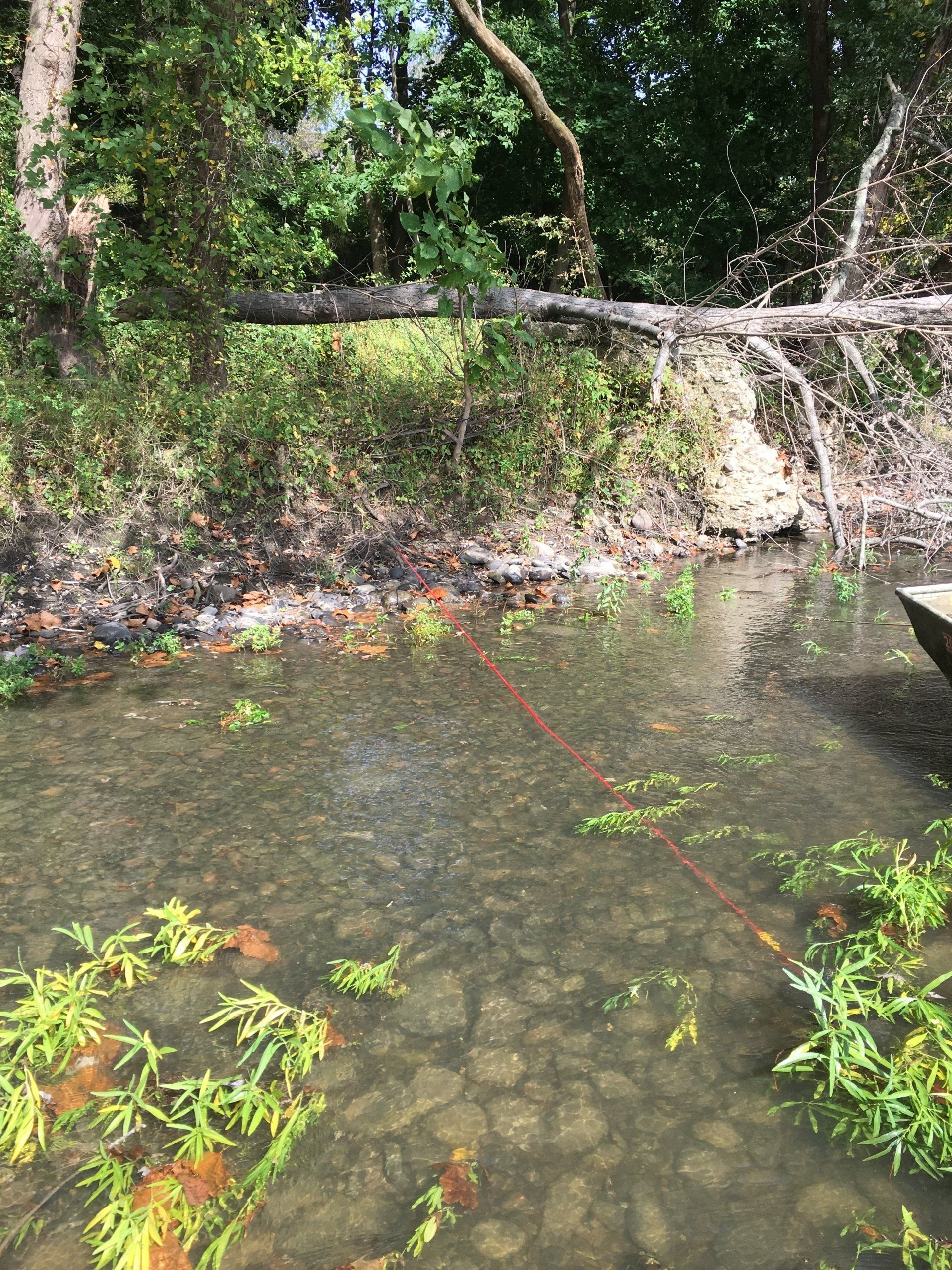
ARM completed a three-dimensional electrical resistivity (3D ER) survey to investigate the extent of a suspected plume of groundwater with high dissolved solids on behalf of a confidential client.
Project Overview
- The study area was approximately 5 acres in size and contained several immovable obstacles, including buildings, concrete pads, and large machinery.
- This restricted the available space for performing conventional two-dimensional ER surveys.
- ARM’s 3D ER capabilities allowed our geophysicists to set up a custom survey grid around these obstacles such that data was collected across the entire study area simultaneously, including underneath the buildings.
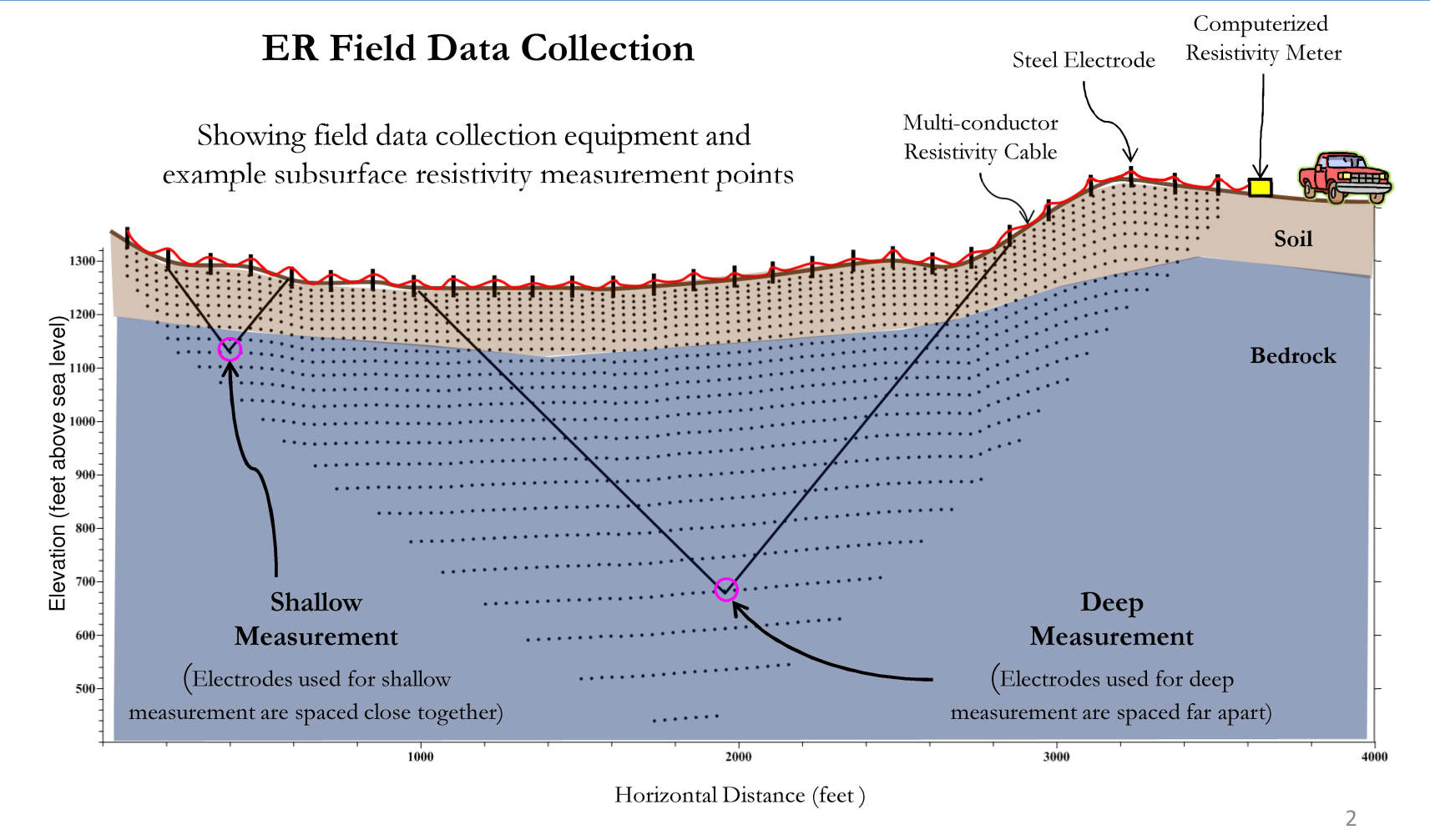
- The processed 3D ER data is plotted as both maps (plan view) and cross-sections (profile view), allowing ARM’s geoscientists to more accurately interpret the depth, thickness, and horizontal extents of high-conductivity groundwater plumes.
Related Projects
Municipal Authority
ER Survey & Well Siting