Power Plant
Karst Feature Investigation
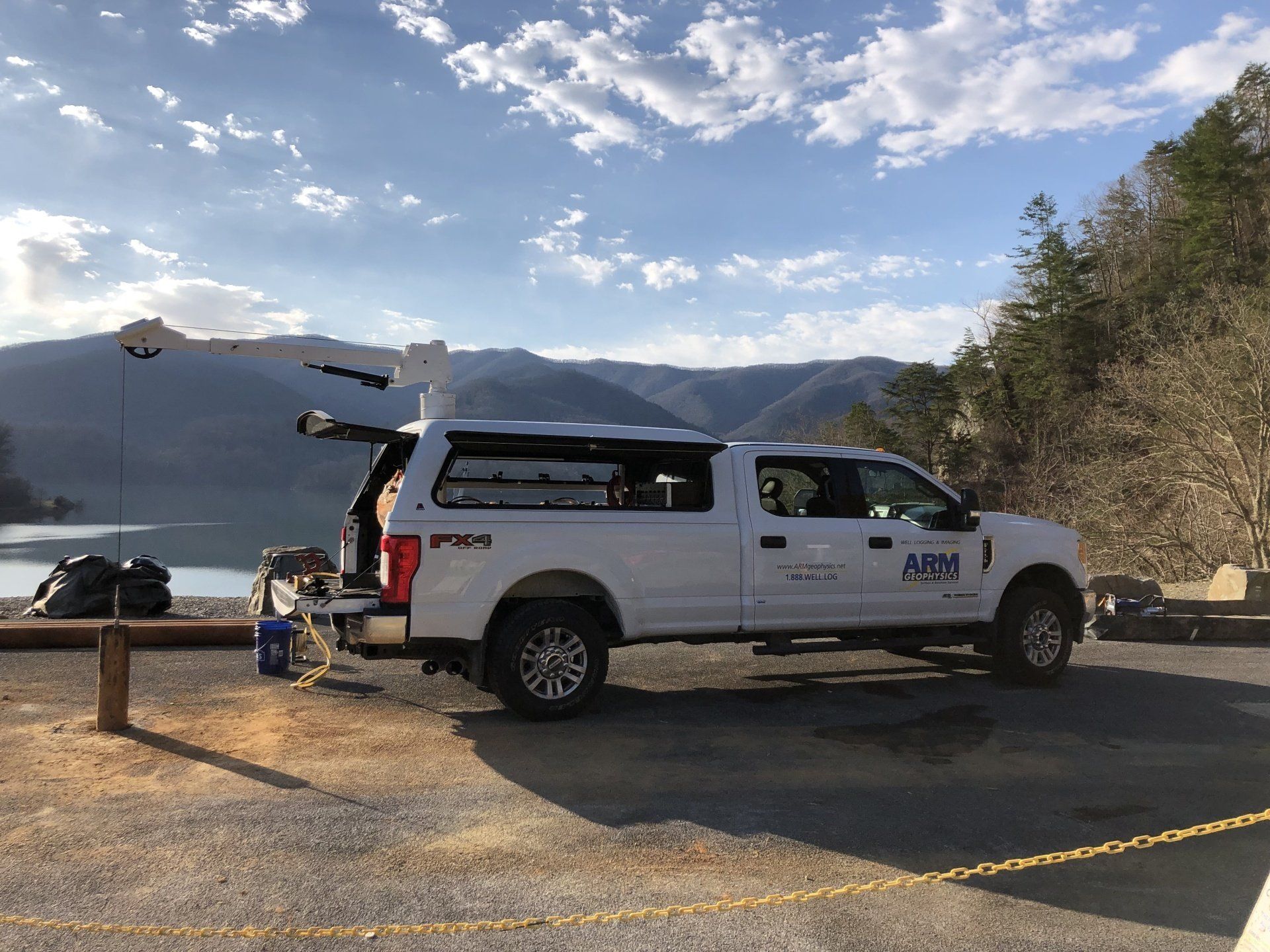
ARM assisted a client with a site-wide karst feature characterization at a large power plant using both borehole and surface geophysical methods. The client’s objective was to identify the relationship between the identified karst features and local groundwater flow beneath and around the power plant.
Project Highlights
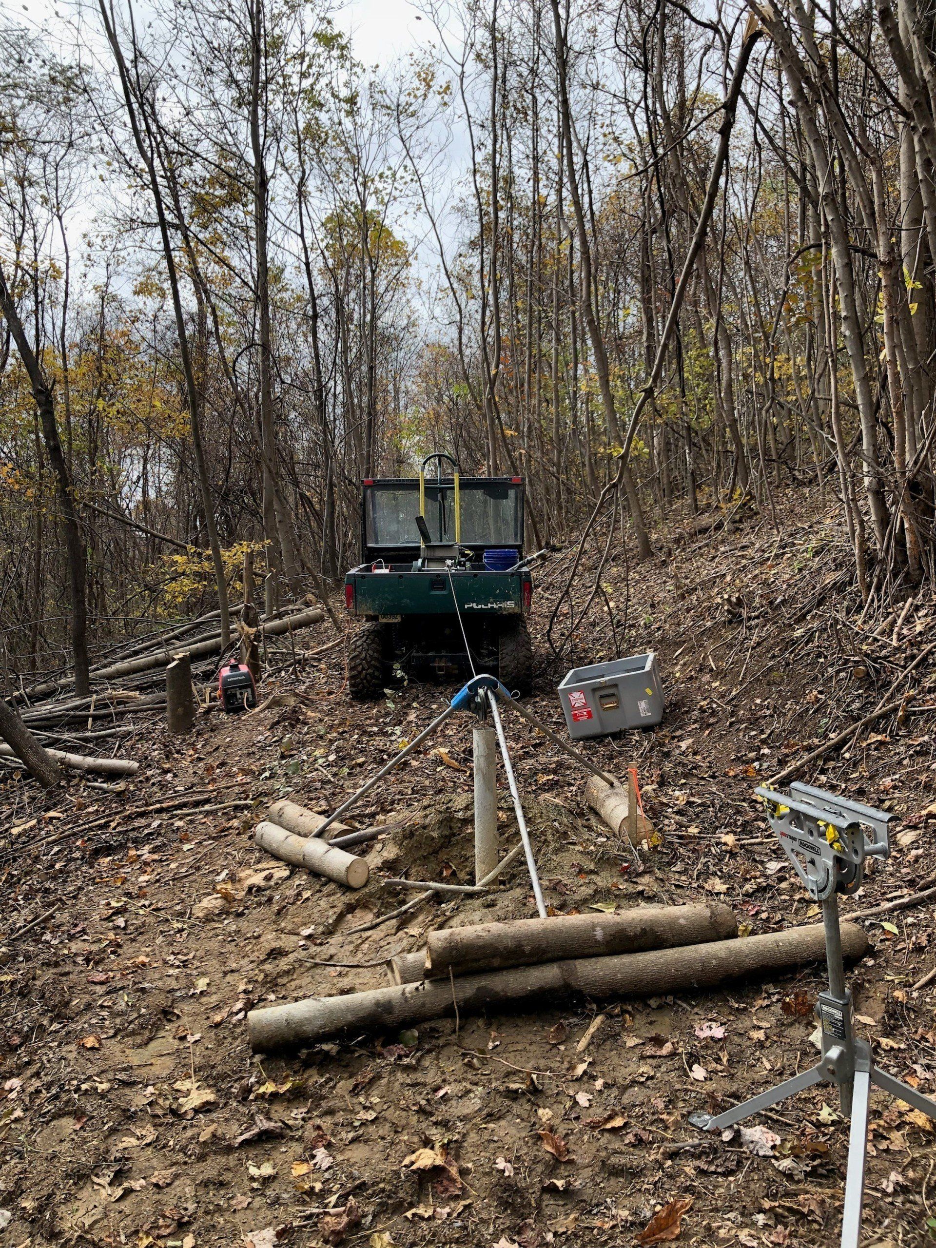
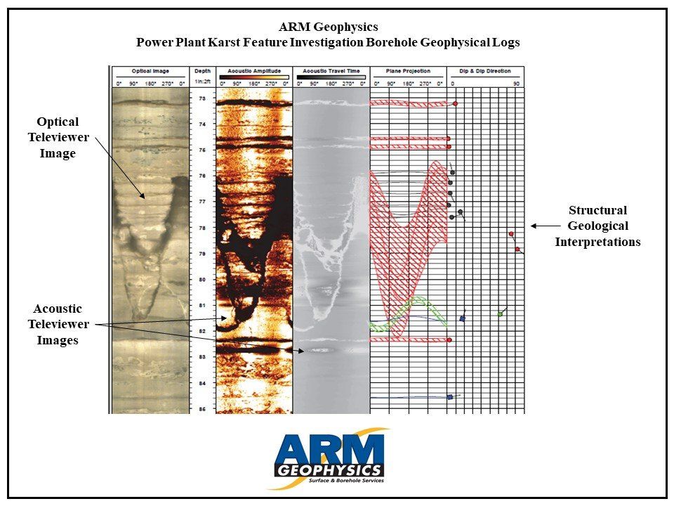
- ARM completed approximately 3,000 linear feet of borehole geophysical logs across 32 wells, including optical and acoustic televiewer, natural gamma, caliper, heat-pulse flowmeter, fluid temperature and conductivity, and normal resistivity logs.
- ARM geophysicists and geologists identified bedrock fracture and bedding plane depths and orientations, water-bearing zone depths, vertical groundwater flow rates, and lithologic variations from the borehole logs.
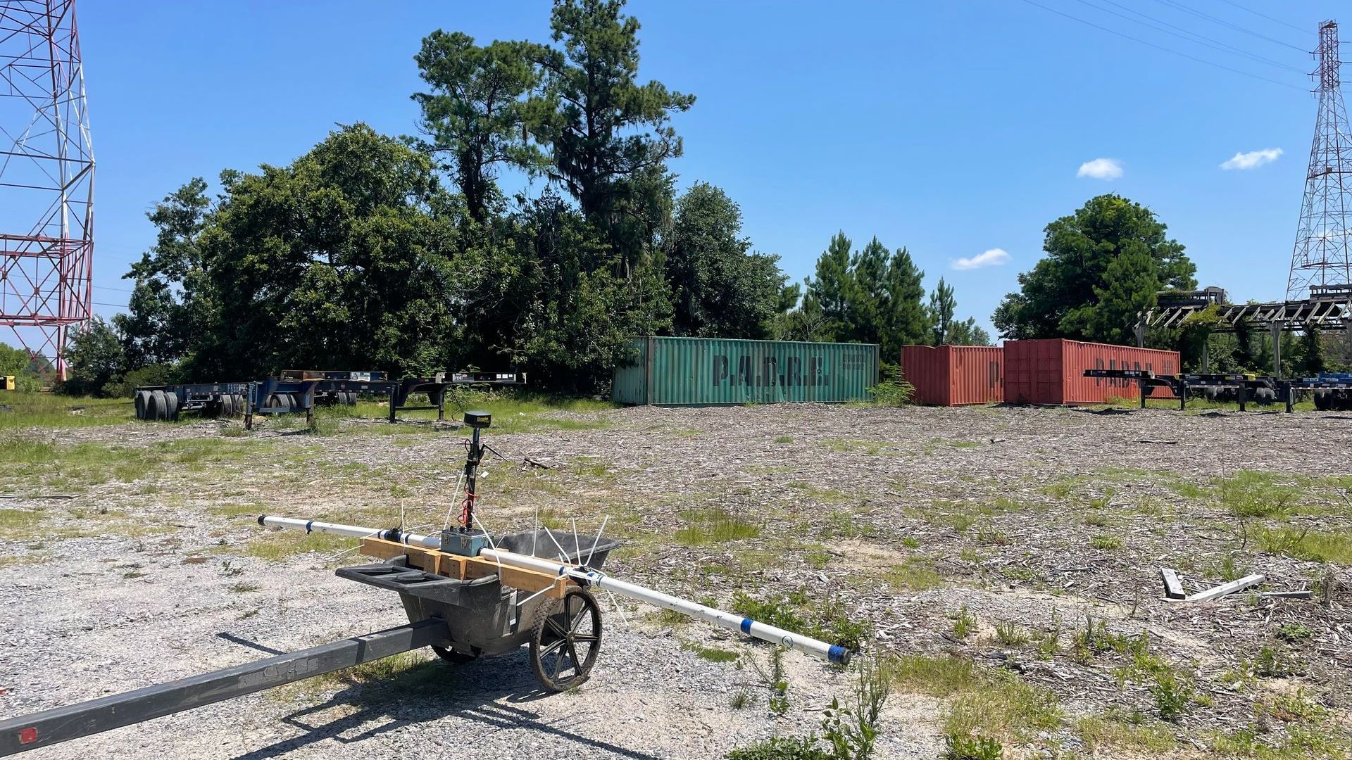
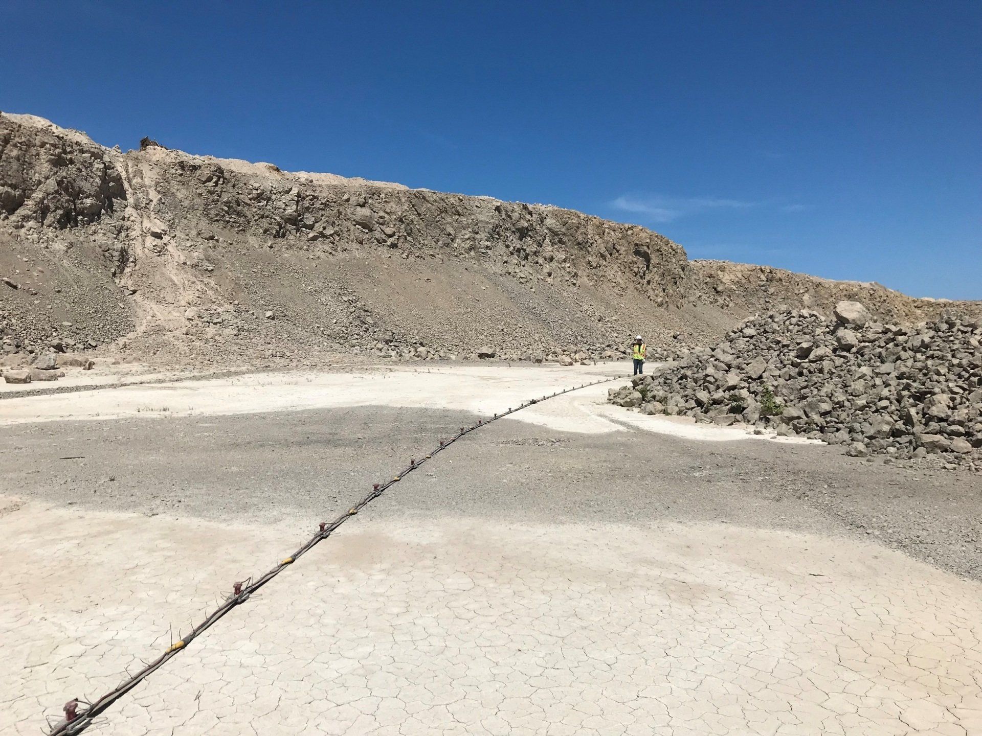
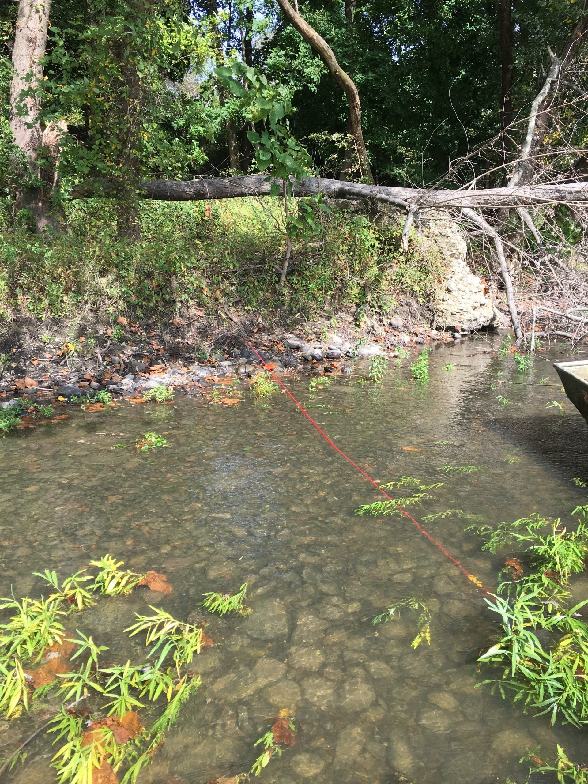
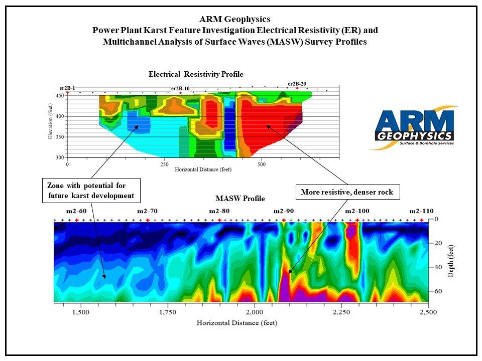
- ARM completed surface geophysical surveys consisting of approximately 29,000 linear feet of electrical resistivity (ER) data and approximately 23,000 linear feet of seismic data using the Multichannel Analysis of Surface Waves (MASW) method.
- ARM processed and interpreted these datasets to provide the client with delineation of areas predisposed to future karst feature development and a qualitative and quantitative assessment of the site’s soil and bedrock properties.
- ARM identified locations for the client to install future monitoring wells using this geophysical dataset.
Other Project Experience
Municipal Authority
ER Survey & Well Siting