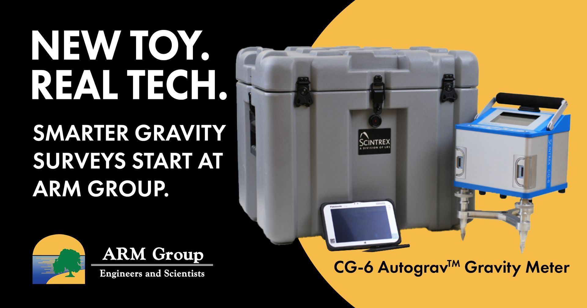
ARM Geophysics Supported DCNR, BTGS, and USGS by Providing Borehole Well Logging Services
ARM Geophysics recently supported the Pennsylvania Department of Conservation and Natural Resources (DCNR) Bureau of Topographic and Geologic Survey (BTGS) and the United States Geological Survey (USGS) by providing borehole well logging services. Over the past few years, ARM has provided borehole and surface geophysical services on several projects for the BTGS across the Commonwealth. On one project, ARM used its well logging expertise to support the BTGS’ study entitled “ Geohydrologic and Water Quality Characterization of a Fractured-Bedrock Test Hole in an Area of Marcellus Shale Gas Development, Bradford County, Pennsylvania ”.
ARM completed well logging in the nearly 2, 000-ft deep test well using the following tools: high-resolution digital optical televiewer (OTV), acoustic televiewer (ATV, density, neutron, heat-pulse flow-meter (HPFM), and our polyprobe, which includes fluid temperature, fluid resistivity, natural gamma ray, formation resistivity (multiple points), and spontaneous potential (SP). ARM Geophysics’ well logs were featured recently in the BTGS Open File Miscellaneous Investigation 13-01.1 (Risser, Hand, Behr, and Markowski, 2013). Click here to view publication.