Confidential Client
HDD Geo-Hazards Investigation
Pennsylvania
ARM was retained to provide a geo-hazard investigation at a proposed horizontal directional drill (HDD) site. The HDD was proposed to facilitate the installation of a pipeline across a stream. As part of the geo-hazard investigation, this work was completed for a confidential oil and gas client in Pennsylvania. At conclusion of the project. ARM found n o subsurface voids.
Multiple near-vertical bedrock fracture zones in area of proposed HDD. Fractures correspond to fracture zones identified by ARM on aerial and LiDAR imagery, and to the mapped contact between geologic formations based on information from the Pennsylvania Geologic Survey.
Potential for significant groundwater volumes to be present on both sides of the stream. The anomalies identified are representative of the types of zones ARM commonly seeks when exploring for commercially-viable groundwater resources (i.e., well yields >> 100 gallons per minute).
Potential for a groundwater seep/spring on the hillside approximately 100- to 150-feet southwest of the stream along the proposed pipeline alignment.
Soft soils & apparent fracture zones appear to be associated with zones of structural weakness and are likely to be problem areas during an HDD construction project. For example, these zones of weakness are areas where inadvertent returns (IRs) may occur.
Potential for significant groundwater volumes also poses a risk to proposed HDD construction. Significant groundwater volume at a higher elevation to the southwest of the stream could result in water flowing through the HDD bore and discharging to the surface at the proposed HDD entry point.
ARM’s recommendation related to the potential risks associated with HDD activities was to carefully consider these factors when determining if HDD methods or open-cut trench methods are to be used to cross the stream. The client eventually determined that the HDD method created more risk and an open cut was selected.
Project Highlights
- Desk-top review of the geology hydrogeology, mining, slope stability, and fracture traces
- Design and implementation of a geophysical survey which included electrical resistivity (ER) and seismic multi-channel analysis of surface wave (MASW) techniques
Related Projects
-
![]()
Confidential Client
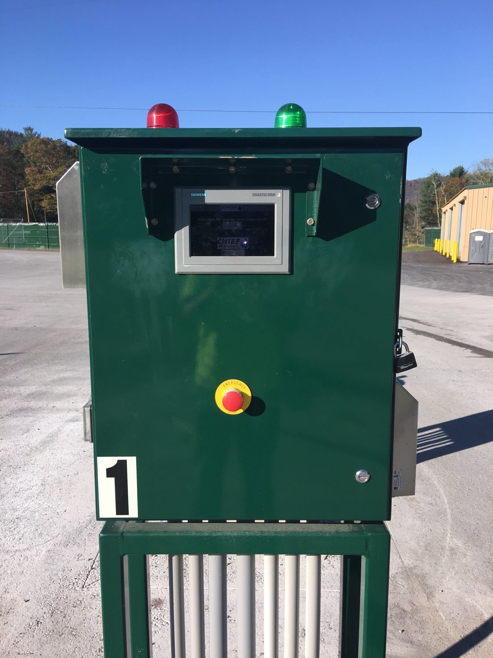
ButtonFully Automated Modular Pump Station & Water Transfer Facility
-
![]()
-
![]()
-
![]()